Data-as-a-Service
Curated telecom intelligence datasets for mapping, analysis, and evidence development.
Not every client needs a fully managed measurement program. Some organisations have internal GIS teams, analysts, or planning functions that can work directly with structured telecom data. Nettot's Data-as-a-Service (DaaS) model provides curated, quality-reviewed datasets that clients can integrate into their own workflows and tools.
DaaS is designed for stakeholders who want the underlying evidence in a usable format, whether for their own mapping, spatial analysis, benchmarking, or reporting.
What DaaS can provide
- Georeferenced measurement records from field campaigns
- Structured signal strength, quality, and availability metrics
- Operator-level and technology-level breakdowns
- Route-tagged and location-tagged records for spatial filtering
- Time-stamped observations for temporal analysis
- Quality-reviewed datasets with documented methodology
- Custom extracts scoped to areas, routes, or operators of interest
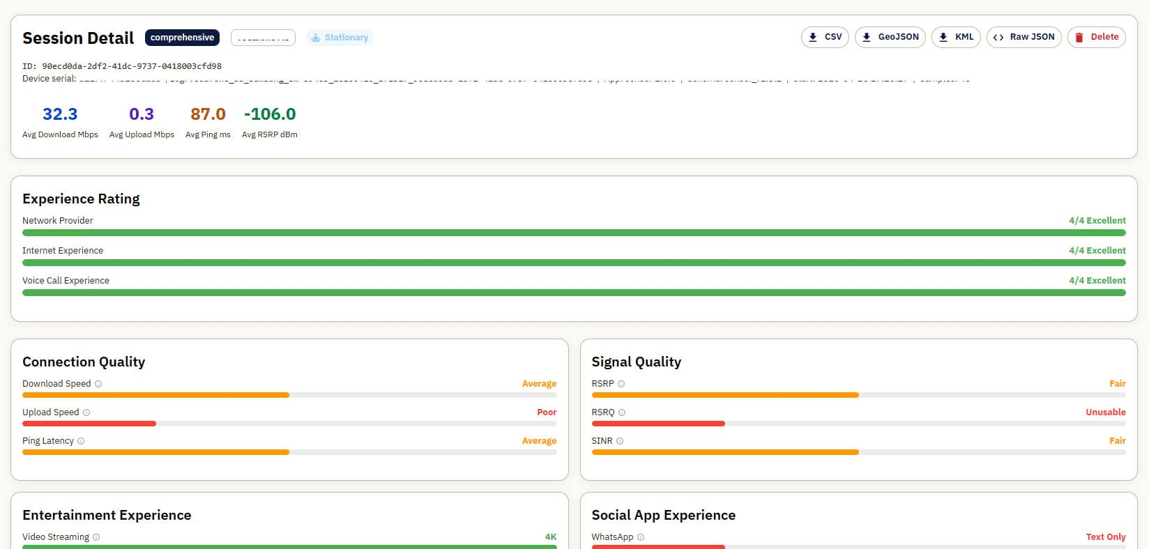
Example data export platform
Potential uses
- Supporting GIS teams with real-world measurement layers
- Combining with population, demographic, or land-use data for spatial analysis
- Comparing coverage and service quality between areas, corridors, or operators
- Informing infrastructure planning, investment cases, or grant applications
- Supporting policy development with structured local evidence
Format and delivery
Datasets are available in common formats including CSV, GeoJSON, and GIS-compatible exports. Project-specific extracts can be tailored to the client's area of interest, operator scope, and analysis requirements.
As Nettot's platform matures, data delivery options will expand to include API-based access, automated refresh cycles, and integration-ready outputs. Current delivery is typically project-based, with data provided alongside documentation covering methodology, scope, and any known limitations.
Why DaaS
DaaS is for organisations that want to work with the underlying evidence in structured form, rather than relying solely on pre-interpreted reports or visualisations. It gives analysts, planners, and GIS teams direct access to measurement data they can query, overlay, and integrate on their own terms.
This model works well alongside MaaS engagements, where the field program generates the data and DaaS ensures it reaches the right teams in a usable format. It also serves clients who may source data from multiple campaigns over time and need consistency in structure and quality.